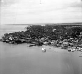
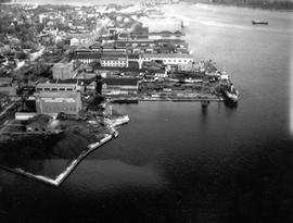
Kingston Harbour from Brock St. to Shipyards looking west past the Kingston Elevator.
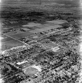
Looking west from Palace Road (Now Sir John A. Macdonald) with prison water tower, prison farm, Mowat Hospital and Portsmouth Ave. showing Traymore Ave. in bottom right to nearby Collins Bay Prison in West.
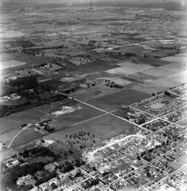
Shows Churchill School in bottom right - North to Alcan and west to Cataraqui.
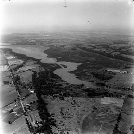
North Cataraqui Swamp, shows sharp rail curve and CN Station.
Looking down Highway 15 and entrance to Kingston Mills.
Kingston Shipyards from Harbour shot on the east side from some distance.