13119 Treffer anzeigen
Archivische Beschreibung42 Treffer mit digitalen Objekten Treffer mit digitalen Objekten anzeigen
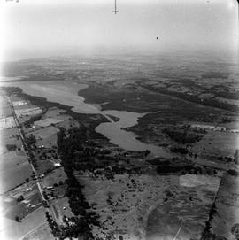
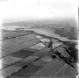
Unidentified farmland. With crescent of trees.
Unidentified farmland. With crescent of trees.
From a high altitude a north easterly view of the Base, Deadman's Bay, Cedar Bay, Fort Henry and RMC
From a high altitude a north easterly view of the Base, Deadman's Bay, Cedar Bay, Fort Henry and RMC
From a high altitude the Base, Fort Henry, RMC and the City as well as some of Bell's Island are seen.
From a high altitude the Base, Fort Henry, RMC and the City as well as some of Bell's Island are seen.
From a high altitude, a view from the East on # 2 Highway showing the Base, Deadman's Bay, Cedar Bay, Fort Henry and RMC
From a high altitude, a view from the East on # 2 Highway showing the Base, Deadman's Bay, Cedar Bay, Fort Henry and RMC
Close up view East on # 2 Highway showing the Base, Deadman's Bay, Cedar Island, Fort Henry and RMC
Close up view East on # 2 Highway showing the Base, Deadman's Bay, Cedar Island, Fort Henry and RMC
East on # 2 Highway showing the Base, Deadman's Bay, Cedar Island, Fort Henry and RMC
East on # 2 Highway showing the Base, Deadman's Bay, Cedar Island, Fort Henry and RMC
View along # 15 Highway across Bell's Island to City.
View along # 15 Highway across Bell's Island to City.
View of Cataraqui Bay from Bell's Island south
View of Cataraqui Bay from Bell's Island south
Ergebnisse: 91 bis 100 von 13119
- « vorheriger
- 1
- ...
- 7
- 8
- 9
- 10
- 11
- 12
- 13
- ...
- 1312
- Nächster »