Print preview Close

Showing 42 results

Archival description
George E.O. Lilley fonds With digital objects
Print preview View:
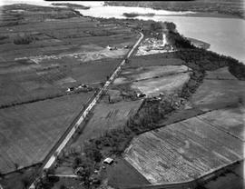
Unidentified farmland (quarries), #15 Highway Quarries between Barriefield and Middle Road.
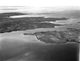
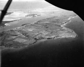
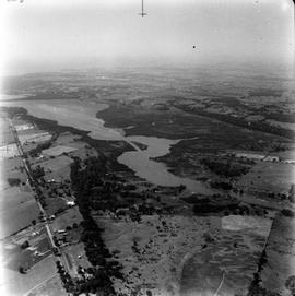
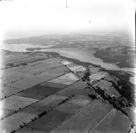
Simcoe Island and west end of Wolfe Island Farmland
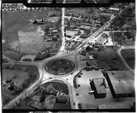
Traffic Circle
Traffic Circle
Simcoe Island, Horseshoe Island in rear.
Looking west from Palace Road (Now Sir John A. Macdonald) with prison water tower, prison farm, M...
Looking west from Palace Road (Now Sir John A. Macdonald) with prison water tower, prison farm, Mowat Hospital and Portsmouth Ave. showing Traymore Ave. in bottom right to nearby Collins Bay Prison in West.
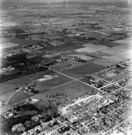
Shows Churchill School in bottom right - North to Alcan and west to Cataraqui.
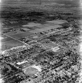
North Cataraqui Swamp, shows sharp rail curve and CN Station.
Looking down Highway 15 and entrance to Kingston Mills.
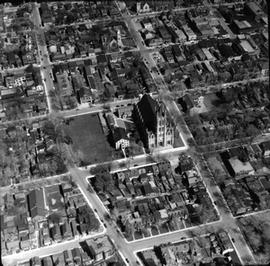
Great front views of St. Mary's Cathedral, St. Andrew's Church and Queen's.
Highway 15 from south of Middle Road to City.
Results 21 to 30 of 42