Previsualizar a impressão Fechar

Mostrar 42 resultados

Descrição arquivística
George E.O. Lilley fonds Com objeto digital
Previsualizar a impressão Ver:
Portsmouth Ave. to Division St. / Palace / Water Tower / Aluminum Plant etc.
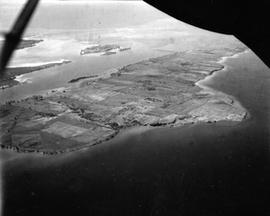
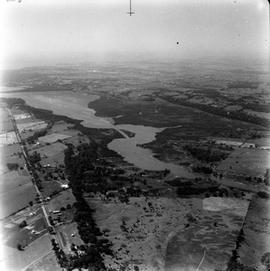
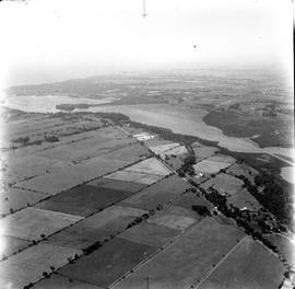
Simcoe Island, Horseshoe Island in rear.
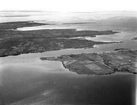
Simcoe Island and west end of Wolfe Island Farmland
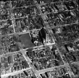
Great front views of St. Mary's Cathedral, St. Andrew's Church and Queen's.
Looking down Highway 15 and entrance to Kingston Mills.
Highway 15 from south of Middle Road to City.
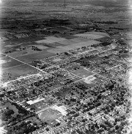
North Cataraqui Swamp, shows sharp rail curve and CN Station.
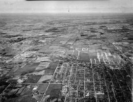
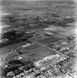
Shows Churchill School in bottom right - North to Alcan and west to Cataraqui.
Looking west from Palace Road (Now Sir John A. Macdonald) with prison water tower, prison farm, M...
Looking west from Palace Road (Now Sir John A. Macdonald) with prison water tower, prison farm, Mowat Hospital and Portsmouth Ave. showing Traymore Ave. in bottom right to nearby Collins Bay Prison in West.
Kingston Harbour from Brock St. to Shipyards looking west past the Kingston Elevator.
Resultados 1 a 10 de 42