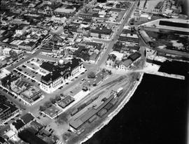
Kingston City Hall looking N.W. from waterfront corner of Clarence to Princess St.
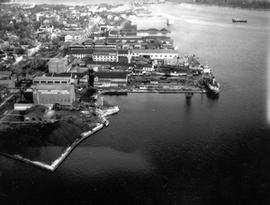
Kingston Shipyards from Harbour shot on the east side from some distance.
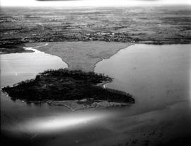
Bell Island in Cataraqui River.
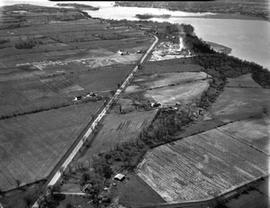
All of Dredge and Dry dock facility, Anglin's yard and Anglin's Bay.
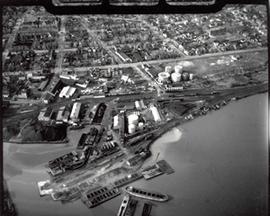
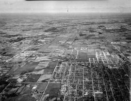
Portsmouth Ave. to Division St. / Palace / Water Tower / Aluminum Plant etc.
Unidentified farmland (quarries), #15 Highway Quarries between Barriefield and Middle Road.
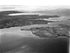
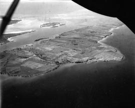
Simcoe Island and west end of Wolfe Island Farmland
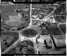
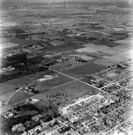
Traffic Circle
Simcoe Island, Horseshoe Island in rear.
Looking west from Palace Road (Now Sir John A. Macdonald) with prison water tower, prison farm, Mowat Hospital and Portsmouth Ave. showing Traymore Ave. in bottom right to nearby Collins Bay Prison in West.