Print preview Close

Showing 24 results

Archival description
With digital objects Aerial photographs
Print preview View:
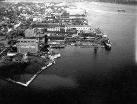
Kingston Shipyards from Harbour shot on the east side from some distance.
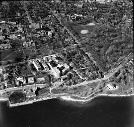
Kingston Waterfront, Murney Tower to University Ave. - north to Union St.
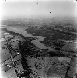
Looking down Highway 15 and entrance to Kingston Mills.
Looking west from Palace Road (Now Sir John A. Macdonald) with prison water tower, prison farm, M...
Looking west from Palace Road (Now Sir John A. Macdonald) with prison water tower, prison farm, Mowat Hospital and Portsmouth Ave. showing Traymore Ave. in bottom right to nearby Collins Bay Prison in West.
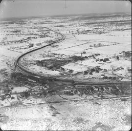
North Cataraqui Swamp, shows sharp rail curve and CN Station.
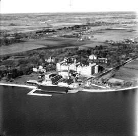
Ontario Hospital (Psychiatric)
"Outer Station" - Montreal St.
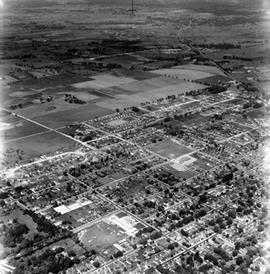
Portsmouth Ave. to Division St. / Palace / Water Tower / Aluminum Plant etc.
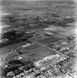
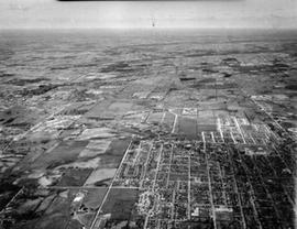
Shows Churchill School in bottom right - North to Alcan and west to Cataraqui.
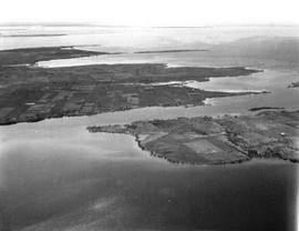
Simcoe Island and west end of Wolfe Island Farmland
Results 11 to 20 of 24